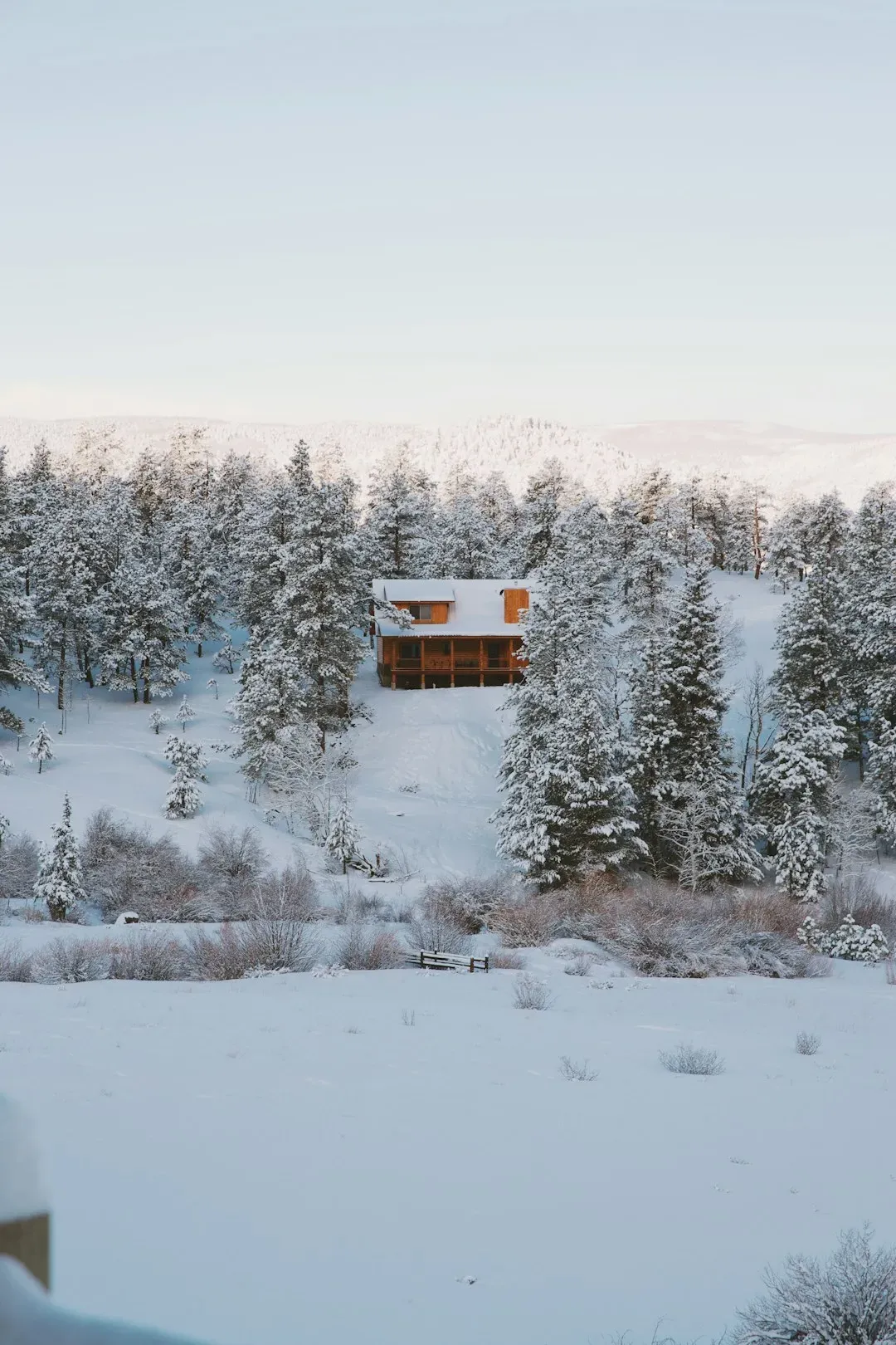
Three separate rounds of Arctic air have already swept across the central and eastern United States through mid-December, courtesy of a displaced polar vortex positioned near Hudson Bay, Canada. If you’re wondering why this winter feels relentlessly cold, you’re not imagining it. The first of these frigid blasts already sent temperatures plunging across multiple states, threatening centuries-old record lows from Iowa to Maine, with meteorologists forecasting two additional rounds of bone-chilling temperatures for millions over the following two weeks.
The Polar Vortex Split That Started It All
A Polar Vortex split was forecast at lower levels of the stratosphere, following a Stratospheric Warming event that began impacting global weather development in early December. This isn’t your typical winter chill. The split brought what meteorologists call a “Polar Express” weather pattern across the United States and Canada, characterized by multiple waves of cold air extending deep into the month. Think of it as nature’s conveyor belt of frigid temperatures, one blast after another. The disruption led the polar vortex to split, sending extreme, frigid Arctic air across Alaska, Canada, and parts of the contiguous United States.
When the First Arctic Blast Hit

Some of the traditional cold spots over the interior Northeast dropped well below zero, with temperatures dipping to nearly twenty below zero in the Adirondacks of northeastern New York. That’s seriously cold, folks. Record lows were recorded during the first outbreak, including zero degrees in Springfield, Illinois, three degrees in Kalamazoo, Michigan, and minus four degrees in Plattsburgh. Temperatures across many areas of the Midwest dropped below zero Fahrenheit on Monday morning, roughly fifteen to twenty-five degrees below the historical average, with Madison, Wisconsin seeing a forecasted low of minus three degrees. For anyone caught outside without proper gear, frostbite became a genuine concern within minutes.
The States Taking the Hardest Hit
The Arctic air was expected to deliver subzero temperatures from the Dakotas and Minnesota to Iowa and Nebraska, bringing by far the lowest temperatures of the season to date for much of the rest of the Central states and Northeast. Honestly, the geographic reach of this cold was staggering. A displaced polar vortex in Canada unleashed three waves of Arctic air through mid-December, delivering the coldest conditions of the season so far, with repeated blasts driving up energy demand and creating hazardous travel from multiple rounds of accumulating snow from the Plains to the Northeast. The January cold wave was the coldest in much of the continent, especially the United States, in at least a decade, bringing temperatures as much as twenty to thirty-five degrees below average to a majority of the country.
Why Three Rounds of Cold Air
AccuWeather Lead Long-Range Meteorologist Paul Pastelok explained that the first outbreak would be followed by another cold blast the next week and a third the week after that. The pattern resembled a brutal marathon rather than a sprint. The polar vortex had been in a weakened and stretched state since late November, according to Pastelok. Yet another round of Arctic cold was forecast to dive southward into the northern Plains on Wednesday December tenth and then progress south and east through the upcoming weekend of December thirteenth and fourteenth, with the coldest days in the Northeast and mid-Atlantic expected on Saturday the thirteenth and Sunday the fourteenth. It felt relentless because, well, it was.
How Cold Became the New Reality in January
The January 2025 North American cold wave brought extremely cold temperatures to a majority of the Lower 48, as the coldest January in much of the continent in at least a decade, originating from the southward migration of the polar vortex after an arctic front passed through in early January. Let’s be real, this wasn’t just a cold snap. An Arctic blast plunged into the southeastern United States on Sunday, January nineteenth, bringing record-breaking low temperatures and fueling a winter storm that dropped historic snowfall for parts of the South. On January twenty-first, Baton Rouge recorded seven point six inches, making it the site’s snowiest day since records began in 1892, while New Orleans saw its snowiest day since records began in 1948 with eight inches, and Mobile, Alabama hit a record snowfall of seven point five inches, the most since the site’s creation in 1881.
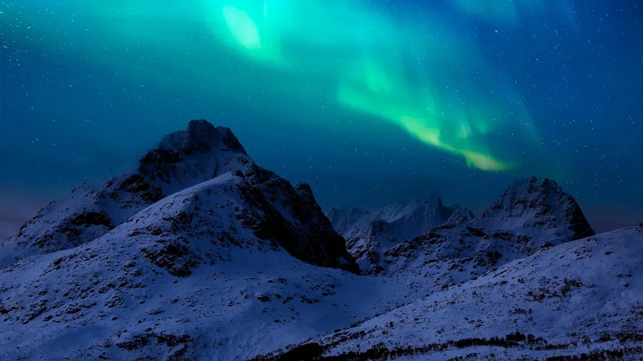
The Science Behind Polar Vortex Disruptions
The polar vortex is a large upper-level, low-pressure area or circulation that typically resides above the Arctic Circle, and when this circulation is strong, it tends to keep the coldest air in the Northern Hemisphere locked up over the pole, but when it weakens or stretches, frigid air can move south. It’s like opening the freezer door and letting all the cold spill out. Pretty much all episodes of extreme cold temperatures in the region occur as a result of at least one chunk of the polar vortex getting dislodged and steered southward or southeastward into the continental United States, with an initial push of Arctic air descending from Canada into the Midwest and a reinforcing shot of cold air coming in later to prolong the bitter cold.
Record-Breaking Temperatures Across the Nation
The town of Rolla, North Dakota reached a wind chill of minus fifty-four degrees early on the morning of January twentieth, the city of Wichita, Kansas had its coldest January temperature since 1988 on January twenty-first reaching minus nine degrees, and on January twenty-second, Kansas City set a new daily record low of minus eight degrees while Pueblo, Colorado set a new daily low of minus nineteen degrees. Those numbers are hard to wrap your head around. On January twenty-second, Baton Rouge, Louisiana made it to seven degrees, which is the airport’s coldest temperature since records began in 1930. Air temperatures at a National Weather Service station in Billings, Montana reached minus thirty degrees Fahrenheit on January thirteenth, the lowest temperature recorded there since the site was established in 1999, with wind chill in Montana and the Dakotas reaching as low as minus sixty degrees.
The Southern States Shocked by Snow and Ice
The National Weather Service office in Lake Charles, Louisiana issued its first blizzard warnings ever for portions of the state, while on January twenty-first, Baton Rouge recorded seven point six inches, making it the site’s snowiest day since records began in 1892. Imagine Louisiana buried in snow. Ten inches was recorded near Pensacola, Florida on January twenty-first, challenging the record for the snowiest day ever recorded in the state of Florida. The southward dip in the jet stream that brought this cold air outbreak was aligned with a stretching event in the stratospheric polar vortex. The South simply wasn’t prepared for this kind of winter weather.
Could Climate Change Be Making This Worse
Some research has indicated that climate change has resulted in more frequent polar vortex disruptions, and although temperatures are increasing on average, we still experience blasts of cold air due to the recurring displacements of the vortex, as the polar vortex tends not to be as strong due to global warming because the planet isn’t warming uniformly. Here’s the thing: warmer doesn’t mean no more winter. Some recent research has linked polar vortex stretching events to climate change, with the hypothesis being that melting Arctic sea ice due to human-caused warming could elongate the shape of the polar vortex and encourage a southward-shifted jet stream and more Arctic blasts, though the evidence for this connection is mixed and the science remains unsettled. Evidence suggests that Arctic changes associated with global warming have increased the likelihood of vortex disruptions, with effects of enhanced high latitude warming known as Arctic amplification on regional snow cover and sea ice potentially enhancing the weather patterns that result in a stretched polar vortex.
What Comes Next for the Rest of Winter
Extended range data shows that this recovery was likely a temporary reset period, with January looking to return cold air across parts of the United States and Europe, aided by a stronger Polar Vortex. The rollercoaster isn’t over yet. The monthly temperature forecast for January shows a colder pattern, with a stable cold air corridor from west-central Canada down into the northern and eastern United States, very similar to what past examples have shown in a similar overall situation with the Polar Vortex. Forecast data suggests a return of the cold pattern is likely in the first half of January over the United States and southern Canada. For anyone hoping for an early spring, you might want to adjust those expectations.
Are you ready for more winter storms ahead? The triple polar vortex assault has already rewritten the record books, and forecasters warn this pattern could continue cycling through the coldest months. What’s your experience been with this winter’s extreme cold? Has your state been in the deep freeze zone?